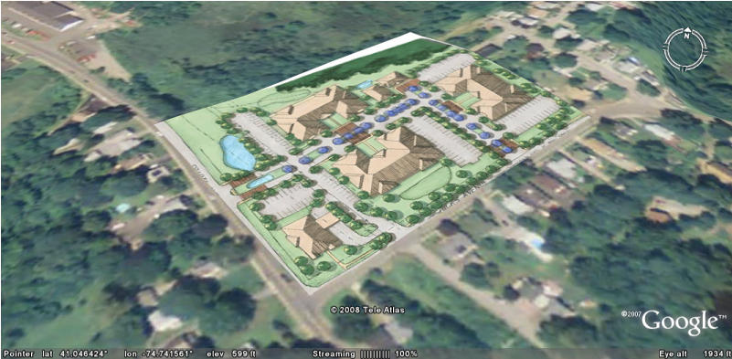
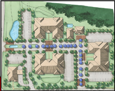
Site Plan Imager works with site plans, surveys, tax maps, zoning maps, or any other site-based images.
Assess lines of sight to determine visibility from intersections. Measure distances to neighboring properties and other off-site improvements.
Site Plan Imager lets you evaluate and assess your sites in in relation to all of the surrounding areas.
Identify and assess "trouble spots" early on before they become costly problems