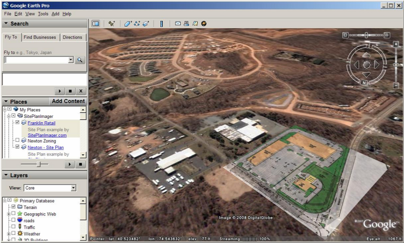
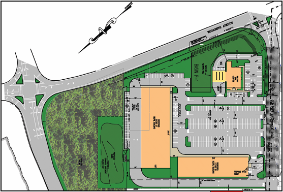
Site Plan Imager works with site plans, surveys, tax maps, zoning maps, or any other site-based images.
Site Plan Imager lets you evaluate and assess your sites in in relation to all of the surrounding areas.
Contact us or call 862-684-8899 for more information.